
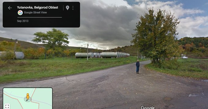
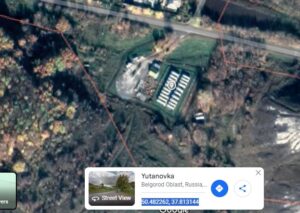
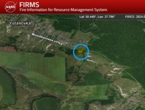
Based on the video and photos, we can geolocate the burning oil depot to 50.482262, 37.813144 (https://google.com/maps/place/50% C228'56.1N+3748'47.3E/@50.4822544,37.8113319,308m/data=!3m2!1e3!4b1!4m13!1m8!3m7!1s0x4126a00efb1d8963:0x5adcc4e43f2074db!2sYutanovka,+Belgorod+Oblast,+Russia,+309670!3b1!8m2!3d50.4892861!4d37.7988372!16sg11h1rlhlrd!3m3!8m2!3d50.482252!4d37.813142!5m1!1e4?entry=ttu&g_ep=EgoyMDI0MDkwNC4wIKXMDSoASAFQAw …). So far, NASA FIRMS map doesn't show any fires at the facility over the past 24 hours.
Leave a Reply