
Satellite image from Kinburn peninsula.
Top image is from yesterday and show some destruction along the shore. Bottom image is reference image from April. 46.536, 31.581
Satellite image shows destruction on Kinburn peninsula shore
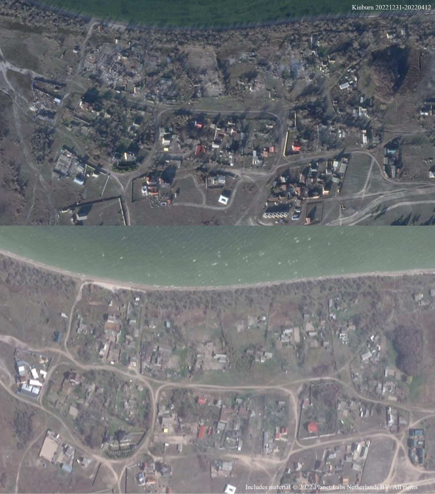
Satellite image from Kinburn peninsula.
Top image is from yesterday and show some destruction along the shore. Bottom image is reference image from April. 46.536, 31.581
Leave a Reply