
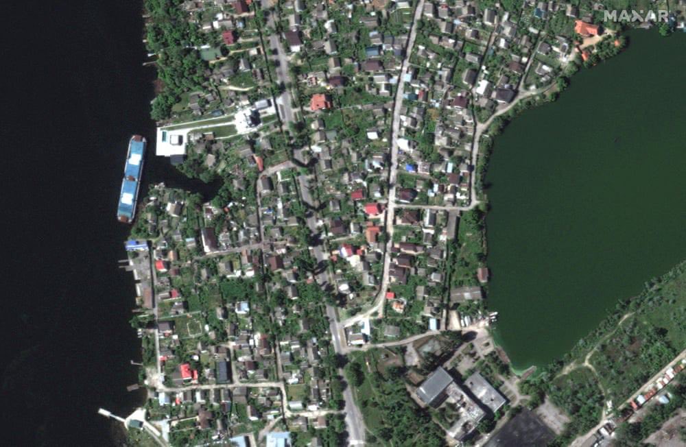
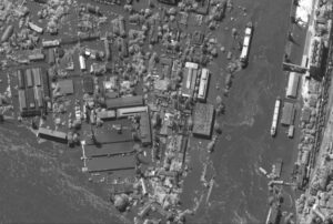
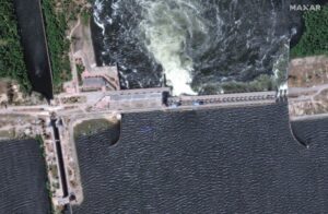
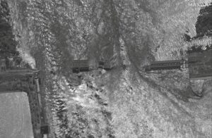
Maxar Technologies has released new satellite images of the Kherson Region, showing the extent of the destruction caused by the destruction of the Kakhovka dam, The Guardian reported. The images cover more than 2,500 square kilometers between Nova Kakhovka and the
Leave a Reply